

TEMPO.CO, Jakarta - A powerful earthquake measuring 7.6 in magnitude struck Ternate, North Maluku, Indonesia, on Thursday morning, April 2, 2026, at around 07:48 WIT (Eastern Indonesian Time), triggering panic among residents and prompting a tsunami early warning across several regions in eastern Indonesia.
According to Indonesia’s Meteorology, Climatology, and Geophysics Agency (BMKG), the earthquake’s epicenter was located at coordinates 1.25° North Latitude and 126.27° East Longitude, at a depth of 62 kilometers. The tremor was widely felt across Ternate City, Tidore Islands, Sofifi, and extended to Bitung, Manado, and Minahasa in North Sulawesi.
In Ternate, the strong and prolonged shaking caused widespread panic. Residents rushed out of their homes, with hundreds gathering along main roads to seek safety.
A Tempo correspondent in the Kompleks Pohon Pala area of Central Ternate reported that the intensity of the quake forced people to flee immediately. One resident, Soleman Abdulah, said the tremor caused the walls of his house to shake violently, while several electronic items fell.
“I saw the walls vibrating and chose to run outside. When I got out, many people were already on the street,” he said.
Following the quake, BMKG issued a tsunami early warning based on initial modeling. Areas in North Maluku with potential tsunami risk include Ternate City, Tidore Islands, and Halmahera. Meanwhile, in North Sulawesi, the alert covers Bitung, the Minahasa Strait, Sangihe, and Bolaang Mongondow.
Ternate City Regional Secretary Rizal Marsaloy urged residents, especially those living in coastal areas, to remain vigilant and follow official instructions from authorities. He also advised people to stay away from the shoreline temporarily.
“We ask residents not to panic, to remain alert, and not to be influenced by unverified information,” Rizal said.
Despite the initial panic, conditions in Ternate have gradually returned to normal, with most residents resuming daily activities. However, in some areas such as Batang Dua Island, residents were reported to have taken refuge in higher ground and had yet to return home.
Authorities continue to monitor the situation closely, while BMKG has warned of possible aftershocks following the earthquake.
Read: M5.3 Quake Off Sukabumi Felt Across West Java, No Tsunami Risk
Click here to get the latest news updates from Tempo on Google News
M5.3 Quake Off Sukabumi Felt Across West Java, No Tsunami Risk
20 hari lalu

The earthquake off Sukabumi, West Java, was caused by the subduction of the Indo-Australian Plate beneath the Eurasian Plate.
5.7-Magnitude Earthquake Hits Bengkulu, BMKG Says
25 hari lalu
The Indonesian Meteorology, Climatology, and Geophysics Agency (BMKG) reported that an earthquake with a magnitude of 5.7 struck Lebong, Bengkulu.
Fact Check: BMKG Never Announced a 2026 Megathrust Earthquake Across Indonesia
32 hari lalu

Tempo Fact Check Team found that the BMKG never issued a warning of a major earthquake in Indonesia in 2026.
What's New in Google's Earthquake Detection for Smartwatches
34 hari lalu

Even if the user's watch is not connected to Android, the earthquake warning system on Google Watch can be activated.
Shallow M3.2 Earthquake Hits Bogor and Sukabumi Areas
36 hari lalu
A shallow M3.2 earthquake struck Bogor and Sukabumi on February 24, 2026.
M5.0 Megathrust Earthquake Shakes Mentawai on Sunday
38 hari lalu

A tectonic earthquake measuring 5.0 magnitude struck the north coast of the Mentawai Islands, West Sumatra, on Sunday, February 22, 2026.
BMKG Records M4.7 Earthquake in Tangerang
39 hari lalu

The Indonesian Meteorology, Climatology, and Geophysics Agency (BMKG) recorded a 4.7 magnitude earthquake in Tangerang Regency, Banten.
How Earthquakes Form Gold Nuggets in Quartz
40 hari lalu

The formation of gold nuggets is influenced by electric currents caused by earthquakes.
Magnitude 5.5 Earthquake Hits Indonesia's Maluku, No Tsunami Risk
42 hari lalu
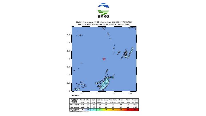
The earthquake was classified as moderate and was caused by rock deformation within the Banda Sea Plate.
4.8-Magnitude Earthquake Jolts Indonesia's East Priangan Region
43 hari lalu
Indonesia's East Priangan region was rocked by a tectonic earthquake with a magnitude of 4.8 early Wednesday morning, February 18, 2026, at 1:00 am.


:strip_icc():format(jpeg):watermark(kly-media-production/assets/images/watermarks/bola/watermark-color-landscape-new.png,1125,20,0)/kly-media-production/medias/5495647/original/074499000_1770385031-barba.jpeg)