August 4, 2026 | 07:00 pm

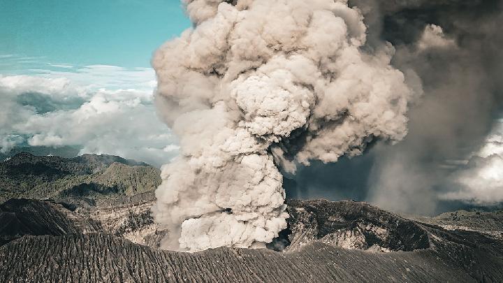
TEMPO.CO, Jakarta - Guatemala's disaster management agency CONRED issued evacuation notices for several towns near the highly active Volcan de Fuego on Tuesday, as it spewed columns of lava, gas, and ash some four kilometers (2.5 miles) into the sky.
The volcano is located some 40 kilometers (25 miles) southwest of Guatemala City.
CONRED issued an orange warning, its second-highest level, and urged residents to move to emergency shelters outside of the volcano's path. Schools have been closed in the area and some businesses have temporarily shuttered.
According to the agency, ash clouds have traveled as far as 60 kilometers (37 miles) to the west of the volcano, and could significantly disrupt air traffic in the area.
Guatemala's Institute of Seismology and Volcanology stressed that the volcano is experiencing its "most intense phase" and that people should be extremely careful with a 10-kilometer (6.2-mile) radius of it.
Hikers warned to leave area
Local media reported that onlookers continued to climb the nearby Acatenango volcano, despite a safety ban, in order to take videos of the eruption to post on social media.
Volcan de Fuego is nearly 3,800 meters (12,500 feet) tall and sits on the Pacific Ring of Fire. It is one of the most active volcanoes in Central America, and in 2018 a violent eruption claimed the lives of some 200 people.
Read: Mount Merapi Hiking Ban Stays amid Explosive Eruption Risks
Click here to get the latest news updates from Tempo on Google News
Fact Check: Did a Viral Video Really Capture Mount Anak Krakatau's Eruption?
25 hari lalu
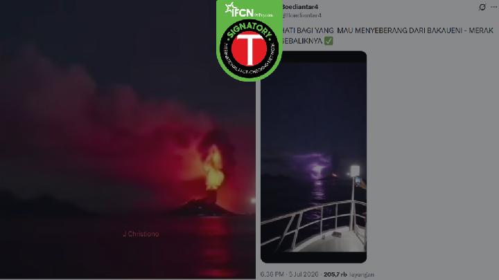
A viral video claims to show Mount Anak Krakatau erupting, filmed from a ferry crossing the Sunda Strait. But is the footage authentic?
Mount Anak Krakatau Erupts Six Times in 10 Hours
26 hari lalu
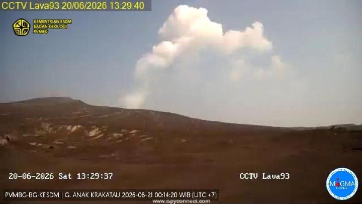
Despite the successive eruptions throughout the day, PVMBG has maintained Mount Anak Krakatau's status at Level III, or Siaga.
Indonesia Debunks Hoax Video of Mount Anak Krakatau Eruption
30 hari lalu

Indonesia's Geological Agency reminds the public not to be lured by misleading information regarding Mount Anak Krakatau Volcano.
Mount Anak Krakatau Status Escalated to Level III Alert
32 hari lalu
The Geological Agency has raised the activity status of Mount Anak Krakatau to Level III (Siaga), enforcing a 3-km exclusion zone from the crater.
Fact Check: Will US and Japan Underwater Volcanoes Erupt Together?
34 hari lalu
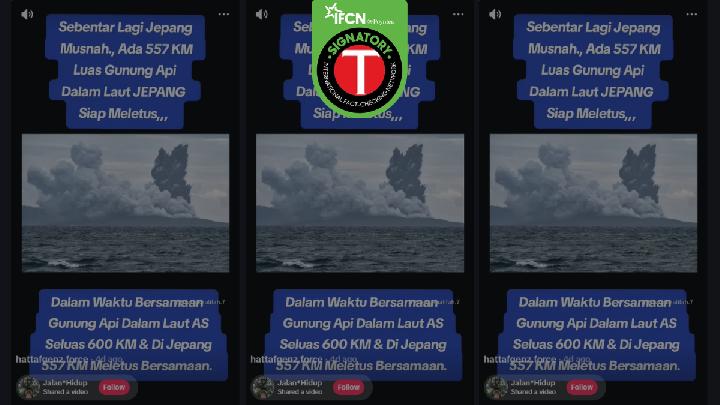
Fact check - No scientific data or official warnings from either country. The only photos circulating are old images of Mount Anak Krakatau.
Mount Merapi Sees Surge in Activity With Fresh Pyroclastic Flows
2 Juni 2026
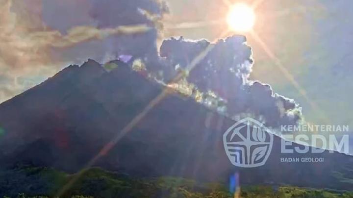
There has been no change in the safe distance or sectoral recommendations for potential dangers related to Mount Merapi activities over the last three days.
Indonesia's Mount Marapi Erupts, Sends Ash 2 Kilometers High
31 Mei 2026

Since the major eruption at the end of 2023, Mount Marapi continues to show fluctuating volcanic activities with periodic eruptions.
Sumatra's Mount Sinabung Sees Increase in Volcanic Activity
22 Mei 2026
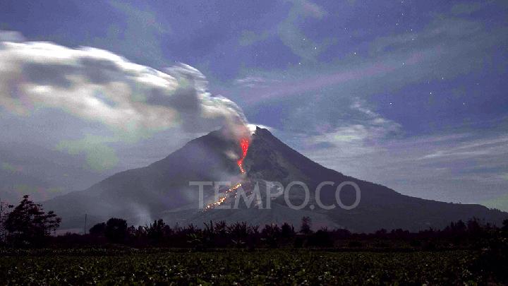
An increase in seismic activity at North Sumatra's Mount Sinabung on May 22, 2026, may lead to potential phreatic or magmatic eruptions.
Mount Dukono Erupts Three Times This Morning, Residents Warned
12 Mei 2026
Local residents and tourists are still advised to stay away from the area within a 4-kilometer radius from the summit of Malupang Crater and Warirang of Mount Dukono.
Indonesia's Mount Dukono Records Six Eruptions in a Single Day
10 Mei 2026
Residents and tourists are once again reminded not to approach within a 4-kilometer radius of Mount Dukono.