
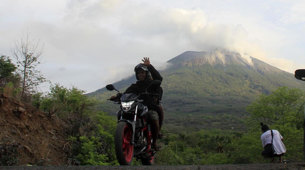
TEMPO.CO, Jakarta - The Meteorology, Climatology, and Geophysics Agency (BMKG) predicts moderate to very heavy rain in the West Java region for a week, from January 23 to 29, 2026. "The BMKG in West Java urges the public to be more cautious because over the next week, several areas in West Java are expected to experience an increase in rainfall intensity," said the Head of the West Java Climatology Station, Rakhmat Prasetia, in a statement on Friday, January 23, 2026.
The BMKG anticipates the potential for rainfall with moderate to very heavy intensity, which may be accompanied by thunder and strong winds, in parts of Bekasi, Bogor, Depok, Karawang, Purwakarta, Subang, Cianjur, Sukabumi, Bandung, West Bandung, Cimahi, Sumedang, Cirebon, Indramayu, Majalengka, Kuningan, Garut, Tasikmalaya, Ciamis, Banjar, and Pangandaran.
Rakhmat stated that the latest analysis of atmospheric dynamics shows an increase in the growth of rain clouds over the next week, caused by several atmospheric dynamic phenomena, including, on a global scale, the ENSO index in the NINO 3.4 region observed to be in a negative phase, indicating weak La Nina conditions. "So, it has the potential to increase the formation of rain clouds," he said.
Meanwhile, on a regional scale, Kelvin waves and Low-Frequency wave activities are expected to be active in the Java Island region and contribute to increased convective activities. This condition is supported by relatively warm sea surface temperatures around Indonesian waters, which act as a source of water vapor supply to the West Java region.
Additionally, wind shear and convergence areas have been observed in the West Java region, which have the potential to trigger and enhance the growth of rain clouds. This dynamic support is reinforced by atmospheric instability conditions, which are categorized as moderate to strong, further increasing the potential for the formation of convective clouds on a local scale.
Furthermore, the BMKG has predicted that moderate rainfall will dominate the West Java region from February to April 2026. According to Rakhmat, anomalies in sea surface temperatures in the Indian Ocean indicate a neutral phase of the Indian Ocean Dipole (IOD).
'Meanwhile, anomalies in sea surface temperatures in the central and eastern Pacific Ocean indicate weak La Nia conditions, and are predicted to transition to a neutral phase until mid-year,' he said on Tuesday.
The BMKG anticipates that 65.6 percent of West Java will experience moderate rainfall, ranging from 100 to 300 millimeters per month, in February 2026. The affected areas include parts of Bogor, Sukabumi, Cianjur, Bandung, Purwakarta, Karawang, Subang, Indramayu, Garut, Tasikmalaya, Banjar, and Pangandaran. Meanwhile, 34.4 percent of other areas have the potential for high to very high rainfall, such as in parts of Bekasi, Subang, Sumedang, Majalengka, Cirebon, Kuningan, and Ciamis.
In March, around 56.2 percent of the West Java region is predicted to receive moderate rainfall, including Depok, parts of Bogor, Sukabumi, Cianjur, Bekasi, Karawang, Purwakarta, Subang, Indramayu, Bandung, parts of Garut, Tasikmalaya, and Pangandaran, while 42.6 percent of other areas are expected to receive high to very high rainfall, including parts of Bogor, Sukabumi, Cianjur, Garut, Sumedang, Majalengka, Cirebon, Kuningan, and Ciamis.
In April 2026, it is predicted that 78.1 percent of the West Java region will experience moderate rainfall, 16.7 percent will experience high rainfall, and 5.2 percent are predicted to experience low rainfall.
Meanwhile, based on BMKG monitoring results related to extreme climate conditions in December 2025, the highest daily rainfall was recorded at 250 millimeters in Cigandamekar, Kuningan Regency, on December 31, 2025. At the Penggung Meteorological Post, Cirebon Regency, the highest maximum air temperature reached 34.6 degrees Celsius.
Meanwhile, the lowest temperatures reached 13-15 degrees Celsius for six consecutive days from December 12 to 16, 2025, around the Padjadjaran University (Unpad) campus in Jatinangor, Sumedang.
Read: BMKG Warns of 6-Meter-High Waves in Southern East Nusa Tenggara
Click here to get the latest news updates from Tempo on Google News


:strip_icc():format(jpeg)/kly-media-production/medias/5486410/original/015853500_1769586166-Pesib_Kurzawa.jpg)